Map of US, US Map, US map art, United States Wall map, teacher gifts, history gifts, united states map, Louisiana purchase, lewis and clark
De L'Isle's "Carte de la Louisiane" published in approximately 1731 would become the primary reference source for exploration of the Mississippi and Missouri river valleys and was used by other cartographers as late as 1797. Believed to be the oldest map consulted in the planning of the Lewis and Clark Expedition.
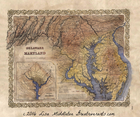
This is a hand painted historical map reproduction which in it's original state was black and white, yellowed with age and possibly torn or creased. I copy the original and clean it up so I can paint it and then re-distress it so it looks antiquated.
This photographic image is easy to frame at 11x14" and is bursting with all the color and character the original map was. It is easy to read and suitable for the office or living room.
Maps make great gifts and memories.
This is an absolutely thrilling map.
"Due to the unique nature of our maps all sizes are approximate. Please do not purchase a frame until you receive the map and measure it. "Full refund if returned in original condition within 14 days. Buyer pays return shipping.
We Also Recommend


