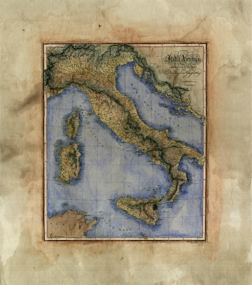
058 Italia Antiquae 1814
Italia Antiquae, Playfair Geography
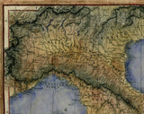
This old map of Italy was produced for an atlas titled Playfair's Geography. The atlas was named after Dr. James Playfair. He compiled the maps to be used in his comprehensive geographical atlas. He himself was historiographicer resident to none other then the Prince of Wales, so compiling and producing grand works were not uncommon for him. It was all in a day's work. After his Playfair Geography, Dr. James published two General Atlas works in the years 1808 and 1814. Later, he published a System of Geography Atlas, consecutively expanding it from the years 1810-1818.
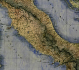
All of the maps included in the Playfair Geography contain great detail regarding river systems, tributaries, other bodies of water such as oceans and lakes, and features regarding mountainous regions and other land topography. The idea behind the work was to give the viewer a visualization of how the lay of the land looked for the particular countries included in the atlas. As such, this map is an excellent example of the terrain found in the country of Italy. Topography elements are showcased in great detail.
Notice the attention given to the islands of Corsica, Sardinia and Sicily. They are right in line with the detail found on the remainder of the map. Strangely absent in detail, though, is the portion of northeastern Africa seen in the bottom left-hand corner of the map. This was a purposeful move on the part of the cartographic team. It was meant to draw the viewer back to the fact that the country of Italy was the main subject of the work. Furthermore, it speaks to the methodical manner in which Dr. James Playfair went about compiling the Atlas Geography. Each country was meant to be showcased without distraction when it was presented. The Playfair Geography was known for being robust with its visual elements, while being extremely accurate in respect to scale, size and all coastal elements.
All sizes are approximate.
We Also Recommend

