puget sound map, Washington map, Coupeville map, lopez island map, lopez island art, island life, orca art, orca art decor, ocean art, ocean
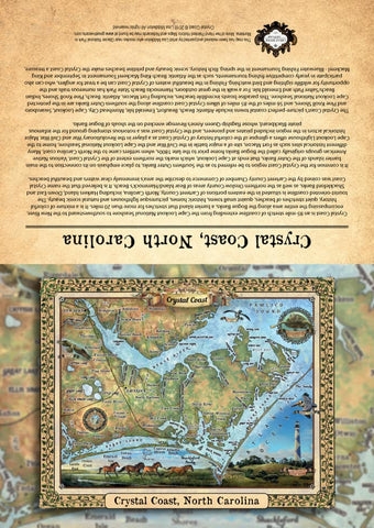
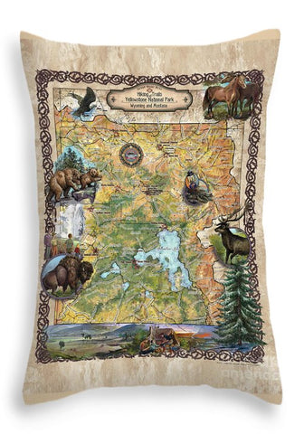
Welcome this beautiful vintage style map art of Lopez Island Puget Sound near Port Townsend with orcas and lighthouses into your home! The exquisite colors and carefully researched illustrations will look beautiful in your foyer, guest room or office. This map makes a great housewarming gift or traveler's gift!
Available in four sizes, each art print is printed on acid free paper made from 29% recycled material. All of the prints feature rich and luxurious colors, perfectly consistent with the original image, which was hand-painted using refined watercolor techniques by the artist, Lisa Middleton. Your print will arrive professionally packaged in plastic acetate, ready for gift-giving, or to be excitedly opened and admired.
SMALL PRINTS
11"x17"
Our small prints feature 650 dpi (dots per square inch) digital printing. Each small print features a nearly-flat finish, with an almost imperceptible sheen. This print ships flat, with a stiff board backing, wrapped securely in a plastic acetate sleeve, and ships in 1-3 business days.
LARGE PRINTS
18" x 24"
24" x 36"
Fine art large prints are best for discerning customers who demand only the best in fine art printing. Every large print is giclée printed on heavyweight paper, with inks guaranteed not to fade for 100 years. It features a smooth, uncoated matte surface with no shine. The large format prints are archival limited editions, each numbered and stamped or signed. Your large print ships rolled in a hard tube, also containing a certificate of authenticity. Each print takes up to 10 days of processing prior to shipping.
HAND PAINTED ORIGINALS
36" x 45"
A truly unique gift for those who want nothing but the original- get your very own, one-of-a-kind, hand-painted watercolor painting by Lisa Middleton. his option is not a print, but your own painting, hand worked by the artist herself. Each painting is shipped rolled in a hard tube containing a certificate of authenticity, and arrives numbered and signed. Each painting takes 4 weeks processing prior to shipping.
ABOUT GICLÉE PRINTING
What's the difference between digital printing and giclée printing? Giclée printing is one of the best print reproduction methods available, and allows us to provide a quality product that is guaranteed to not fade for over 100 years. It is a process that uses a specialized 12 color inkjet printer, acid free papers, and pigment based archival inks. Digital inkjet printing is a more cost-effective option for those who love the artwork but are not ready to invest in an archival-quality print.
FRAMES
All four print sizes come solely on the acid-free paper. Mats and frames are not included. It is strongly recommended to withhold frame purchases until after print is received, so as to precisely measure the print for the correct frame size, as slight variation in actual size may occur.
SHIPPING
Every print is shipped via USPS with tracking and insurance.
WE ARE PRINT ON COMMAND
Please allow 1.5 weeks to ship.
SIZES MAY VARY
Due to the vintage map style the size of each map may vary so please don't purchase a frame until you receive your map and measure it.
RETURN POLICY
Full refund if returned in original condition within 14 days. Buyer must contact vis Etsy messages prior to return, and pay return shipping.
ABOUT LOPEZ ISLAND
Lopez Island screams natural wonder with a mild climate, rolling farmlands, quiet bays, driftwood-strewn beaches, lush forests, shimmering vistas and distant, snow-tipped mountain ranges. Also known as "the Friendly Isle," Lopez Island is 15 miles long, with 63 miles of shoreline, and is situated in Washington State's San Juan Islands in the northwest corner of the state, about 100 miles north of Seattle. It is part of the San Juan Island archipelago and is surrounded by the beautiful waters of the Salish Sea. The island was first named Chauncey Island during the Charles Wilkes Expedition, between 1838 and 1842, after the American naval commander Isaac Chauncey. However, in 1847, British naval captain, Henry Kellett struck Wilkes' names from the official admiralty naval charts and renamed the island Lopez, for Spanish Naval Officer, Gonzalo López de Haro, the first European to discover the San Juan Islands archipelago.
Before European exploration, some of the first inhabitants of Lopez Island included the Lummi on the northern portion of the island and the Samish on the southern portion. Led by Captain Francisco Eliza, the Spanish were the first to enter and map the region, and later, the British, with Captain George Vancouver, and the United States led by Charles Wilkes followed suit. It was not until the San Juan boundary resolution in 1872 that a formal settlement was established, but prior to that time, early settlers included British subject William Pattle, who started a logging operation on southwest Lopez after his arrival in 1852, and later, Hiram E. Hutchinson who became the island's first permanent non-Native settler.
Today, farming, ranching, and fishing are the major economic drivers of Lopez Island. Lopez Village is the commercial center of economic activity, and only town on the island. Port Stanley, located at the north end of the island, is home to the historic Port Stanley Schoolhouse. Richardson, on the south shore was homesteaded by George Stillman Richardson in the early 1870s, but thrived under William Graham, a canny businessman, who tapped into the potential of the area and set out to make it a trading center.
Lopez Island is a natural paradise that has unique activities and sites to enjoy. The island has several state and county parks, including Oldin County Park and Spencer Spit State Park. Shark Reef Sanctuary, Hummel Lake Preserve and Agate Beach County Park are places to enjoy nature and wildlife viewing.
About Great River Arts: Great River Arts started its journey in 2006 when Lisa Middleton began restoring and painting historical French maps of the Mississippi River. Art collectors and interior designers loved the subtle enchantment of the gently painted maps, and demand for her restored and painted historic maps quickly spread across the country.
Her historical map collection rapidly developed into custom map services for private estates, resorts, lakes, public lands, and regional attractions-all with the vintage charm of Lisa's earlier works, applying borders, cartouches, and fonts found in historic maps from the 1850's and earlier.
Each piece of art created by Lisa is the result of an in-depth, collaborative process between cartographers, architects, colorists and professional researchers. An intrepid traveler, Lisa continues to paint originals and work with her design team from the road and her home base near Glacier National Park, Montana. She pursues new map suggestions and collaborations every day. Please stay updated on Lisa's newest maps and travels at facebook.com/greatriverarts!
Disclaimer: All sizes are approximate. While great care was taken to produce this map, the information was derived from digital databases from various sources. Great River Arts cannot be responsible for errors, omissions, or positional accuracy in our custom map designs other than our intent to provide fascinating information and a delightful memory. Historical maps often contain misspellings and information that might not be accurate. Neither genre should be used for navigation. The user of this map bears full responsibility for his or her safety of person and equipment. There is no warranty, expressed or implied that this map is suitable for an particular purpose. We do appreciate you letting us know of any errors or suggestions at mapart@greatriverarts.com Let us help you with our unique custom map design services.Full refund if returned in original condition within 14 days. Buyer pays return shipping.
We Also Recommend


