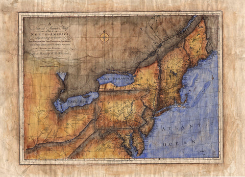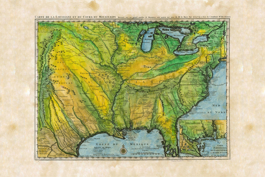


026 Carte De La Louisiane, French United States c.1731
De L'Isle's "Carte de la Louisiane" published in approximately 1731 would become the primary reference source for exploration of the Mississippi and Missouri river valleys and was used by other cartographers as late as 1797. Believed to be the oldest map consulted in the planning of the Lewis and Clark Expedition.
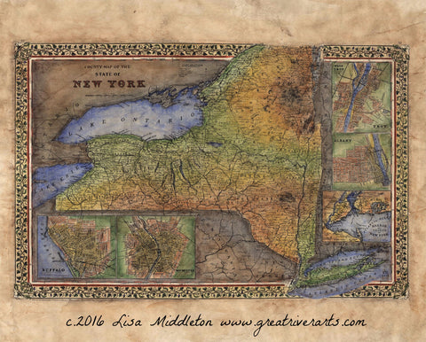
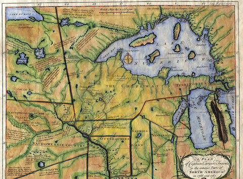
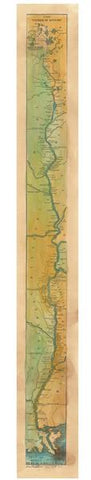
All sizes are approximate.
We Also Recommend