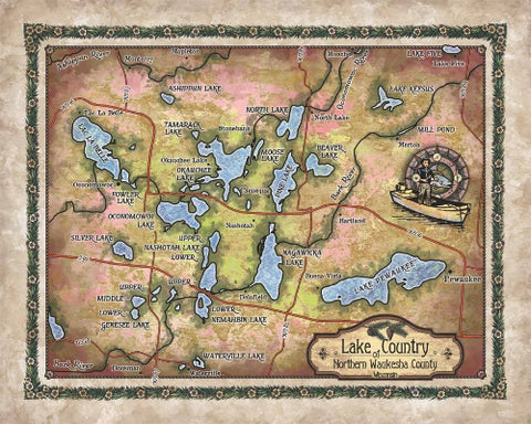
Lake Superior Historic Antique Map Art Print Poster Vintage Artwork Wall Art Decor For Home Office Livingroom Classroom Lakehouse Any Room Decor & Great Gift
This beautiful map of Lake Superior was carefully designed and painted by hand by Lisa Middleton, map artist and designer. Lake Superior is located on the northern edge of Wisconsin and stretches between the Upper Peninsula of Michigan, north to Ontario, Canada, and west to the eastern edge of Minnesota. It is the largest and deepest of North America's five lakes and stores the largest body of the world's fresh surface water. It is about 160 miles (257 kilometers) wide and about 350 miles (563 km) long. The name Superior stems from the British who took control of the region and named the lake Superior because it is vastly larger than all the other lakes in the region. It is the cleanest, clearest, and coolest of the Great Lakes, largely because of low amounts of nutrients, sediments, and organic material in the water.
The shores of Lake Superior are varied with forests in the north where it is rocky, and its southern shores display sandstone cliffs and pebble beaches. The rocky areas of Lake Superior's north shore is believed to be the remnant of volcanoes that were present in the lake's region long ago, before Earth grew cold during the Ice Age and glaciers carved valleys and melted creating the Great Lakes. Lake Superior's water is shared among three U.S. states (Minnesota, Wisconsin, and Michigan) and the Canadian province of Ontario.
The area has long been inhabited by Native Americans, dating back to the Paleo- Indian period of hunter-gatherers to more modern groups like Ojibwe who subsequently became one of the dominant groups in the Lake Superior region. Europeans first explored the region in the mid-1600s with the French, including explorer and mapmaker Samuel de Champlain. The French participated in the fur trade with the native people. During the colonial period, the lake was a major route for transportation for the fur business in particular, and goods were processed and shipped to market via Lake Superior.
Shipwrecks are a part of Lake Superior's history. As a result of varying depths and unpredictable weather, maritime accidents are more likely to occur on the lake. One of the most notable incidents occurred on November 10, 1975, when the SS Edmund Fitzgerald, a large cargo ship carrying iron ore, encountered a severe storm in which the twenty-nine crew members perished without a body to bury.
Today, tourism is at the core of the economy of the Lake Superior region. Sightseeing, boating, camping, kayaking, scuba diving, and fishing, all draw people to the shores every year. Isle Royal National Park, Sleeping Giant in Ontario, and Pictured Rocks National Lakeshore, among others are some of the scenic places on Lake Superior that offers adventure.
To order an 18x24" Signed and numbered UV resistant Giclee please copy and paste this address into your browser:
https://www.etsy.com/listing/166229895/18x24-large-maps-easy-to-frame-archaic?
To Order a 24x36" Signed and numbered UV resistand Giclee please copy and paste this address in to your browser: https://www.etsy.com/listing/172861207/large-24x36-giclee-reproduction-of-any?
To order the Hand Painted Original of this map please copy and paste this address into your browser: https://www.etsy.com/listing/172893547/large-masterpiece-historic-map-paintings?
"Due to the unique nature of our maps all sizes are approximate. Please do not purchase a frame until you receive the map and measure it. "Full refund if returned in original condition within 14 days. Buyer pays return shipping.
We Also Recommend


