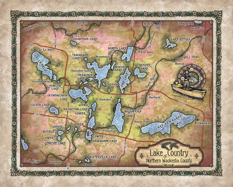
Lake Winnipesaukee, Lake Winnipesaukee map, Lake Winnipesaukee decor, map Lake Winnipesaukee, lake life, lake art, Lake Winnipesaukee NH
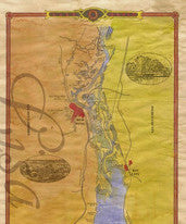
This Lake Winnipesaukee map is a beautiful addition to an entry way, guest room, bathroom or living space in your Lake Winnipesaukee home! Or bring this beautiful map back to your home in the city so you can remember many family gatherings around the lake. Our maps make great gifts and give life to every room! Carefully designed and colorized by our dedicated map team, Lake Winnipesaukee is on of our favorites!
Described as " the jewel in the crown" of New Hampshire's Lakes Region, Lake Winnipesaukee is the state's largest standing body of water, nestled in the foothills of the White Mountains east of Laconia, in Belknap and Carroll counties. The lake is roughly 21 miles long and between 1 and 9 miles wide, with a surface area of approximately 72 square miles and a maximum depth of 212 feet. There are 258 islands on Lake Winnipesaukee, with a total shoreline of approximately 288 miles. This glacial, mountain lake was formed million of years ago, resulting from glacial activities, that also consequently shaped the region's beautiful landscape.
Winnipesaukee is a Native American name taken from ancient Algonquian. There are conflicting interpretations of the word, from "smile of the Great Spirit"; "beautiful water in a high place"; "good outlet"; to "lakes region." It is believed to have been derived from the Native American word Wiwininebesaki, meaning "at the lake in the vicinity of which there are other lakes and ponds", or literally, "Lakes Region", from "wiwini" meaning in the vicinity, "nebes", lakes or ponds, and "aki", region or territory. The Winnipesaukee Indians lived and fished at a village called Acquadocton at the lake's outlet.
The wide, central region of the Lake Winnipesaukee is known as the Broads, and the lake also has several large bays, including Meredith Bay, Paugus Bay, Alton Bay, Wolfeboro Bay and Moultonborough Bay, along with dozens of smaller inlets. There are more than 250 islands on Lake Winnipesaukee, with Long Island and Bear Island as the largest islands, Stonedam Island featuring a wildlife preserve, and three islands with the same name, called Loon Island.
The Lake Winnipesaukee region is habitat to a number of wildlife, including otter, beaver, muskrat, mink, fisher, moose, deer, black bear, coyotes, bobcats and loons that return to the lake at ice out. Aquaticlife includes bridled shiner, brook trout, brown bullhead, burbot, chain pickerel, lake whitefish, pumpkinseed, slimy sculpin and yellow perch, among other species of fish.
There are many attractions and opportunities to enjoy recreational activities on Lake Winnipesaukee and its vicinity, from zip lining and gondola rides in Laconia and Gilford, cruising the lake, boating, canoeing , fishing, to swimming at the beaches on Lake Winnipesaukee. For nature lovers, there are plenty of hiking trails to take in the views of the breathtaking landscape. From views of distance mountains to miles of beautiful blue water, Lake Winnipesaukee is truly spectacular.
"Due to the unique nature of our maps all sizes are approximate. Please do not purchase a frame until you receive the map and measure it. Please allow up to 4 weeks for delivery of our large limited edition giclees"Full refund if returned in original condition within 14 days. Buyer pays return shipping.
We Also Recommend

