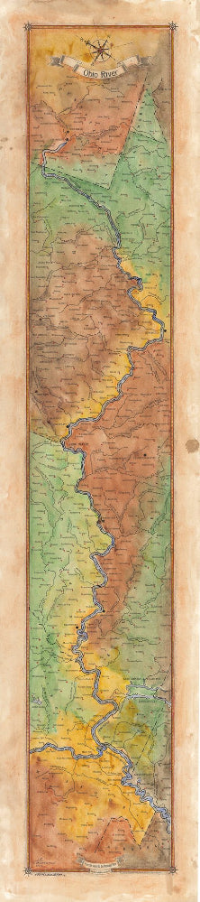
225 Ohio River Ribbon Map
The Ohio River
The Ohio River begins in Pittsburgh, Pennsylvania at the confluence of the Allegheny River and the Monongahela River, extending roughly 900 miles downstream and ending in Cairo, Illinois. Throughout time, the Ohio River has been called many names by different civilizations. The Shawnees called it Spaylaywitheepi, the Miami tribes, the Causisseppione, the Delawares, Kitonosipi, and the French, La Belle Riviére, meaning “the beautiful river.” It was called the "River Jordan" by slaves escaping to freedom in the North using the Underground Railroad in early 1800s. The name Ohio comes from the Iroquois word, "O-Y-O," meaning "the great river".
As early as 700 B.C., the first humans on the river were the Adena culture, followed by the Hopewell culture around 400 B.C. The Adena culture made their mark on the land erecting unique conical burial mounds along the river’s course and its tributaries. The Hopewells had larger earthen mounds in the same area as the Adenas. Later, the Shawnees, Cherokees, Iroquois, and Miamis, used the Ohio River at different periods as a site to launch violent raids, dubbing the river the “River of Blood” by the tribes.
In the 1670s, the French established trading posts along the Ohio River tributaries, including the Beaver, Wabash, and the Scioto Rivers -- but the Ohio River remained unexplored. The first European to see the Ohio River was Frenchman Rene Robert Cavelier Sieur de La Salle in 1669. By the 1880s, the Ohio River became an important commercial route, and also a transportation route for families who migrated to establish settlement in the West.
Today, the Ohio River continues to serve as a major artery for transporting coal, grain, steel, and manufactured articles. The Ohio River is still important to communities, providing drinking water and as well as boating, fishing, swimming, and other water sports.
All sizes are approximate.
We Also Recommend