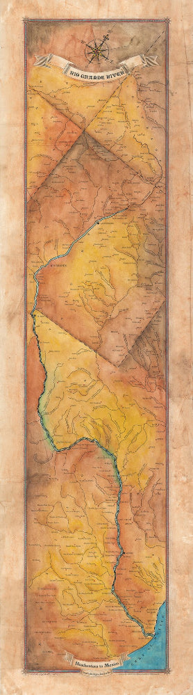
226 Rio Grande River Map
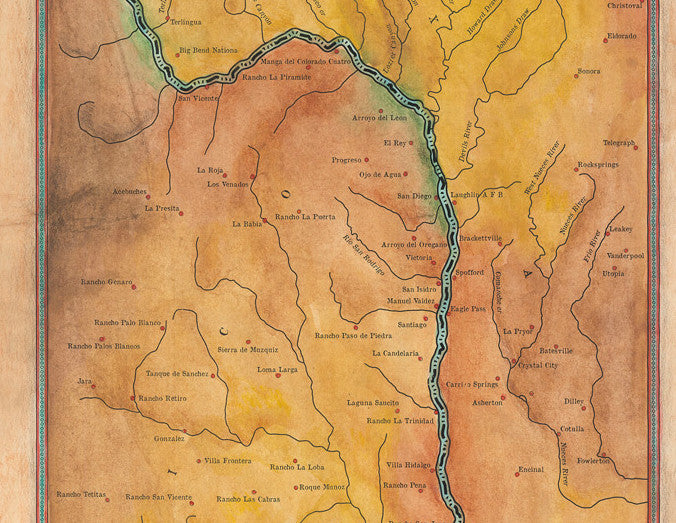
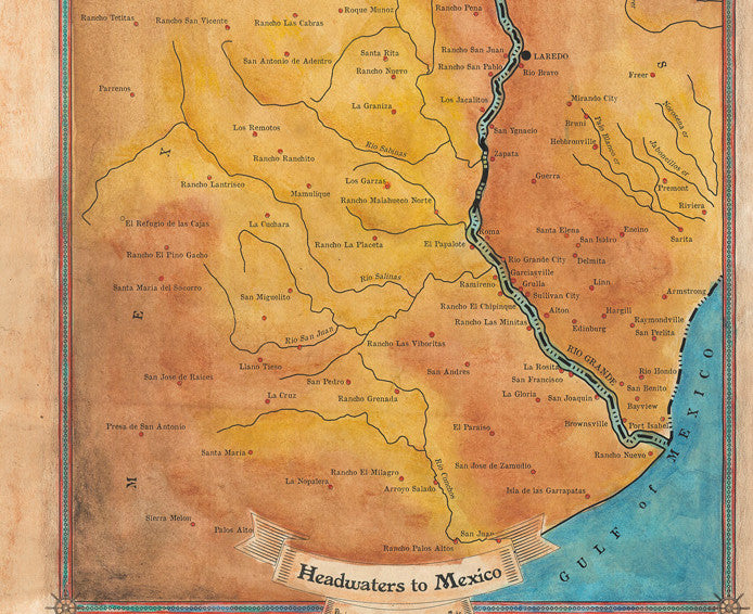
The Rio Grande
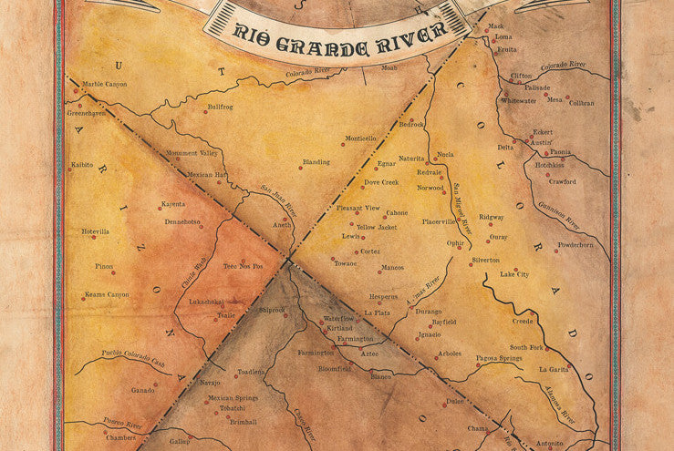
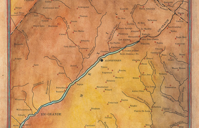
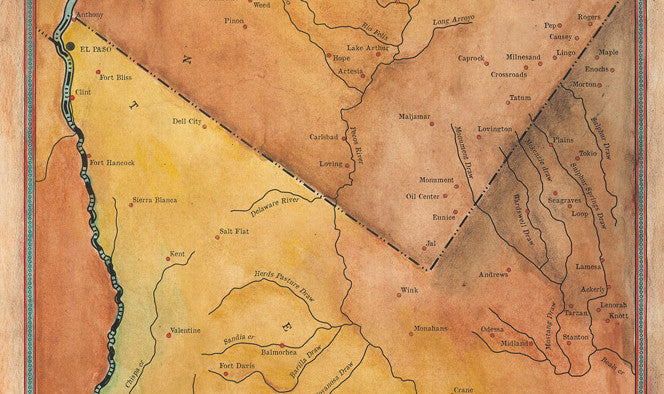
The fourth longest river in the U.S., the Rio Grande, originates in the Rocky Mountains at the southwestern part of Colorado, twisting like a snake across the Southwest, passing through fertile valleys, amazing canyons, mountains, and desert shelves, and eventually emptying into the Gulf of Mexico.
Early occupants of the Rio Grande region were Native American hunters and gatherers dating back to prehistoric times. It was homeland to more than forty indigenous groups, including those from the Pueblo Indian, Tompiro Indians, and the Coahuiltecans. In 1749, Spanish colonists arrived to establish settlements on behalf of Spain. The Spanish invaded the indigenous people’s homeland transforming its inhabitants by introducing a different language, religion, and government. With the arrival of newcomers, the Anglo-Americans in the 1820s, conflict over lands that border the Rio Grande followed. Ultimately, the U.S.-Mexico conflict ended in Mexico’s defeat and the U.S. gained roughly half of its territory.
The Rio Grande’s main tributaries are the Pecos, Devils, Chama, and Puerco Rivers in the United States, and the Rio Conchos, Rio Salado, and Rio San Juan in Mexico. It flows primarily through arid regions, providing a supply of water important for human consumption, agriculture, and wildlife. The river is essential to agriculture in regions of the US and Mexico that depend on it for irrigation of 2 million acres of farmland.
The Rio Grande has shaped human society in the Southwest and humans in turn have brought many changes to the river. It offers outdoor enthusiasts a host of opportunities for adventure, including rugged canyons, scenic beauty and wildlife.
All sizes are approximate
We Also Recommend


