214 MNRRA Mississippi River Custom Map
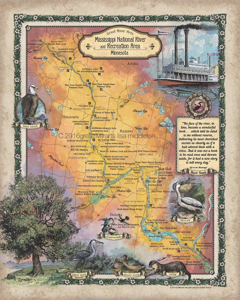
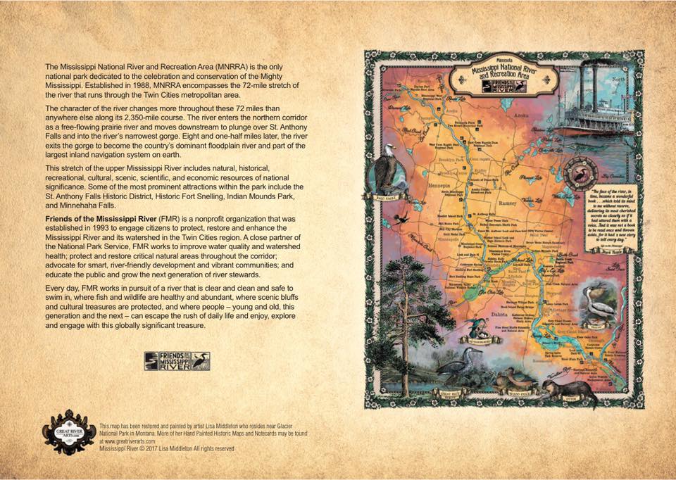
The Mississippi National River and Recreation Area (MNRRA) is the only national park dedicated to the celebration and conservation of the Mighty Mississippi. Established in 1988, MNRRA encompasses the 72-mile stretch of the river that runs through the Twin Cities metropolitan area.
The character of the river changes more throughout these 72 miles than anywhere else along its 2,350-mile course. The river enters the northern corridor as a free-flowing prairie river and moves downstream to plunge over St. Anthony Falls and into the river's narrowest gorge. Eight and one-half miles later, the river exits the gorge to become the country's dominant floodplain river and part of the largest inland navigation system on earth.
This stretch of the upper Mississippi River includes natural, historical, recreational, cultural, scenic, scientific, and economic resources of national significance. Some of the most prominent attractions within the park include the St. Anthony Falls Historic District, Historic Fort Snelling, and Minnehaha Falls.
All sizes are approximate.
We Also Recommend


