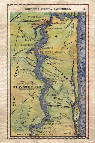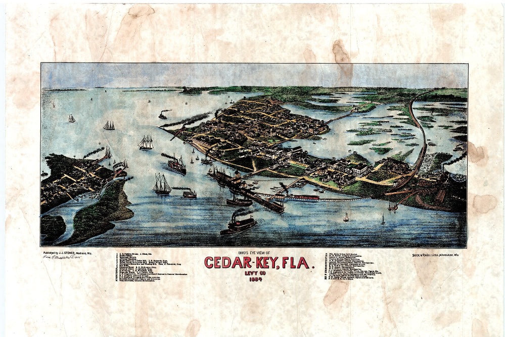
028 Cedar Key, Florida 1884
Cedar Key Florida, 1884
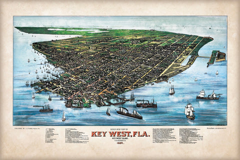
This bird's eye view map of Cedar Key Florida shows the hustle and bustle of the shipping industry, primarily. Various other points of interest are displayed as well, and can be found in the map key located at the bottom of the piece. Yet, the artist does have a way of drawing your eye to the ports. All of those majestic ships and cargo vessels really bring the map to life.
This was common during the days of panoramic maps. Artists would scale buildings and trees to get the bird's eye viewpoint for the map. It was among regular practice during the time of the
panoramic, bird's eye view map for the artist to load up a harbor full of ships and exaggerate various other locations of industry to showcase the main source of commerce that occurred in the area. This is the case with Cedar Key. There are many schooners and other ships coming into port full of cargo and such. The ports were probably not this busy all of the time.
Also, if you look closely you will see the railway line making its way into town. The railway was one of the fastest ways to move product back-and-forth between the mainland and the islands. Since Cedar Key is located so close to the coast of Florida, developing a train route was not difficult. Essentially, it was a series of small bridges that were constructed to hold the weight of the train and other cargo or passengers it might contain.
If you look closer at the map you will notice that there are a lot of cedar trees stacked up in the port area. Cedar was abundant in the aptly named Cedar Key, and as a result, much of the trees were harvested and shipped off for use in other areas. Eventually this would wither as the Cedar was depleted, yet this map does an excellent job of showcasing life and industry as it occurred in Cedar Key during the late 1800s.
All sizes are approximate.
We Also Recommend